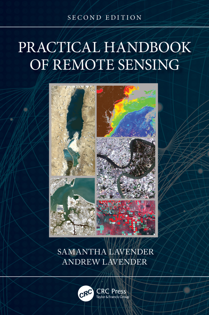
Practical Handbook of Remote Sensing – 2nd Edition
Original price was: $63.99.$38.00Current price is: $38.00.
Author: Samantha Lavender; Andrew Lavender
Publisher: CRC Press
Print ISBN: 9781032223582
Delivery Time: Within 4 hours
Copyright: 2023
500 in stock
- Save up to 60% by choosing our eBook
- High-quality PDF Format
- Lifetime & Offline Access
Practical Handbook of Remote Sensing 2nd Edition
Capture the full potential of Earth observation with the Practical Handbook of Remote Sensing, 2nd Edition by Samantha Lavender and Andrew Lavender — an essential, up-to-date guide for anyone working with satellite imagery, aerial photography, UAV data and GIS.
Start mastering techniques quickly with clear, hands-on explanations of sensors, image acquisition, preprocessing, classification, change detection and accuracy assessment. Written for students, surveyors, environmental consultants and planners, this edition brings modern methods into everyday practice, including LiDAR, radar, multispectral and hyperspectral workflows, plus practical tips for integrating remote sensing into mapping and decision-making.
See how remote sensing solves real-world problems across landscapes and scales: urban planning and infrastructure, precision agriculture, forestry and carbon monitoring, coastal change and disaster response. Regional and global case studies illustrate best practices for temperate, tropical and arid environments so you can apply methods reliably whether you’re mapping a city, a watershed or a national park.
The authors’ approachable, professional voice breaks complex concepts into actionable steps, supported by diagrams, imagery examples and clear process checklists. Emphasis on quality control, metadata and reproducible workflows ensures results you can trust for research, consultancy or fieldwork.
Whether you’re new to remote sensing or refreshing your skills, this practical, well-structured handbook equips you with the tools to turn raw imagery into meaningful geographic insights. Add the Practical Handbook of Remote Sensing, 2nd Edition to your reference shelf and start transforming spatial data into decisions today.
Related Books

Technology & Engineering
Critical Regimes of Two-Phase Flows with a Polydisperse Solid Phase

Technology & Engineering
Matlab: A Practical Introduction to Programming and Problem Solving – 3rd Edition

Technology & Engineering
Proceedings of Emerging Trends and Technologies on Intelligent Systems