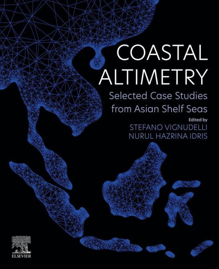
Coastal Altimetry – 1st Edition
Original price was: $150.00.$38.00Current price is: $38.00.
Author: Stefano Vignudelli; Nurul Hazrina Idris
Publisher: Elsevier (S&T)
Print ISBN: 9780323917087
Delivery Time: Within 4 hours
Copyright: 2023
500 in stock
- Save up to 60% by choosing our eBook
- High-quality PDF Format
- Lifetime & Offline Access
Coastal Altimetry 1st Edition
Capture the pulse of the world’s shorelines with Coastal Altimetry, 1st Edition by Stefano Vignudelli and Nurul Hazrina Idris. This authoritative work brings satellite altimetry into the coastal realm, offering clear, practical guidance for understanding sea surface height, tides, and nearshore dynamics—essential reading for scientists, engineers, and policymakers working on coastal oceans and regional seas.
Explore accessible explanations of the physics and instrumentation behind satellite altimetry and how these techniques are adapted for the complex coastal zone. The book blends rigorous methodology with real-world relevance, addressing challenges such as signal contamination near shorelines, high-resolution retrievals, and integration with in situ observations. Readers will find targeted discussion of applications for sea-level monitoring, coastal hazards, ecosystem change, and adaptation strategies—crucial for regions from the Mediterranean and Atlantic to the Pacific, Arctic, and tropical coasts.
Designed for researchers, coastal managers, graduate students, and consultants, this edition emphasizes practical workflows and interpretation, equipping you to translate satellite measurements into actionable information for coastal planning, flood risk assessment, and climate resilience. The authors’ expert perspectives make advanced concepts approachable without sacrificing technical depth.
Whether you are strengthening coastal monitoring programs, conducting regional sea-level studies, or building resilience for vulnerable shorelines, Coastal Altimetry is a timely, indispensable resource. Enhance your library with this definitive guide—order your copy today and bring satellite insight to the frontline of coastal science and management.
Note: eBooks do not include supplementary materials such as CDs, access codes, etc.