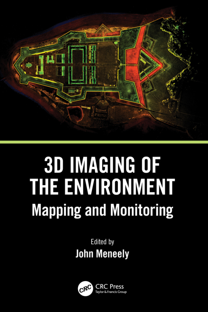
3D Imaging of the Environment – 1st Edition
Original price was: $130.00.$38.00Current price is: $38.00.
Author: John Meneely
Publisher: CRC Press
Print ISBN: 9780367337933
Delivery Time: Within 4 hours
Copyright: 2024
500 in stock
- Save up to 60% by choosing our eBook
- High-quality PDF Format
- Lifetime & Offline Access
3D Imaging of the Environment 1st Edition
3D Imaging of the Environment, 1st Edition by John Meneely invites readers into the practical and theoretical world of three-dimensional environmental sensing. Whether you’re a GIS professional, surveyor, researcher, or urban planner, this authoritative guide transforms complex topics—LiDAR, photogrammetry, point-cloud processing, sensor fusion, and visualization—into clear, usable knowledge.
Inside, Meneely balances rigorous methodology with real-world application: sensor selection and deployment, data capture strategies for urban, forested, and coastal environments, error analysis and accuracy assessment, plus contemporary workflows for generating high-fidelity digital terrain and surface models. Case studies show how 3D imaging informs environmental monitoring, infrastructure management, coastal erosion studies, and autonomous navigation—making the book especially relevant to practitioners working across North America, Europe, Asia, and beyond.
Readable yet technical, the text demystifies algorithms and software pipelines while highlighting best practices for fieldwork and post-processing. High-value sections equip readers to interpret point clouds, integrate multi-source datasets, and produce actionable maps and visualizations for stakeholders and decision-makers.
Practical, comprehensive, and globally applicable, 3D Imaging of the Environment is an essential resource for anyone seeking to leverage 3D data in environmental assessment, planning, or research. Add John Meneely’s 1st Edition to your professional library to sharpen your skills, expand project capabilities, and stay at the forefront of geospatial innovation. Order now to begin turning spatial data into insight.