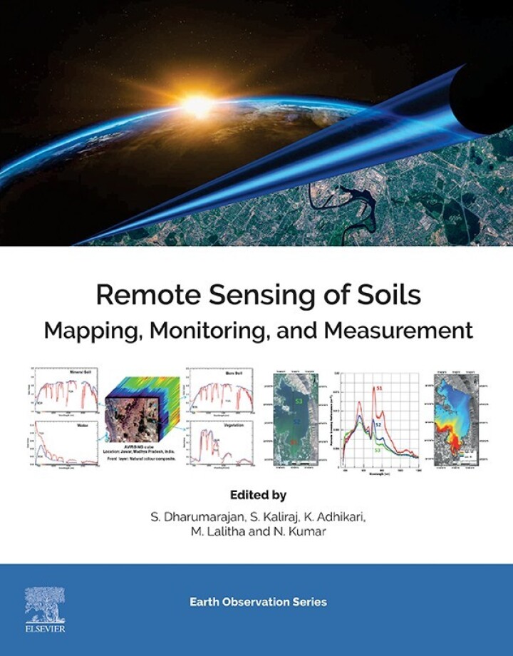
Remote Sensing of Soils – 1st Edition
Original price was: $150.00.$38.00Current price is: $38.00.
Author: S. Dharumarajan, Kaliraj Seenipandi, Kabindra Adhikari, Lalitha Manickam, Nirmal Kumar
Publisher: Elsevier (S&T)
Print ISBN: 9780443187735
Delivery Time: Within 4 hours
Copyright: 2024
500 in stock
- Save up to 60% by choosing our eBook
- High-quality PDF Format
- Lifetime & Offline Access
Remote Sensing of Soils 1st Edition
Remote Sensing of Soils, 1st Edition by S. Dharumarajan, Kaliraj Seenipandi, Kabindra Adhikari, Lalitha Manickam, and Nirmal Kumar draws you into the evolving world of soil science powered by modern sensing technologies. This authoritative guide combines theory, practical methods, and regional insights to help researchers, land managers, and students translate satellite and proximal-sensing data into actionable soil information.
Discover clear explanations of multispectral, hyperspectral, SAR, and thermal approaches, plus UAV and field-spectroscopy integration for accurate soil mapping and characterization. Richly illustrated chapters describe how to estimate soil texture, organic carbon, moisture, salinity, and erosion risk using remote sensing and GIS workflows—bridging laboratory analysis with scalable, geospatial solutions suited to India, South Asia, tropical landscapes, and temperate regions worldwide.
Practical case studies and methodological steps make complex analytics accessible: learn calibration strategies, preprocessing routines, image classification, and validation techniques that improve precision agriculture, watershed management, land-use planning, and climate resilience initiatives. Emphasis on regional applications ensures the content is relevant for geographers, agronomists, environmental consultants, and policy planners working with local soils and satellite datasets.
Whether you’re pursuing advanced study or upgrading your professional toolkit, this volume offers a balanced mix of scientific rigor and hands-on guidance. Richly informed by experienced authors, Remote Sensing of Soils is an essential reference for anyone seeking to harness remote sensing for sustainable soil and land management.
Order your copy today to deepen your expertise in soil remote sensing, improve mapping accuracy, and turn geospatial data into better decisions for land and crop health.
Note: eBooks do not include supplementary materials such as CDs, access codes, etc.