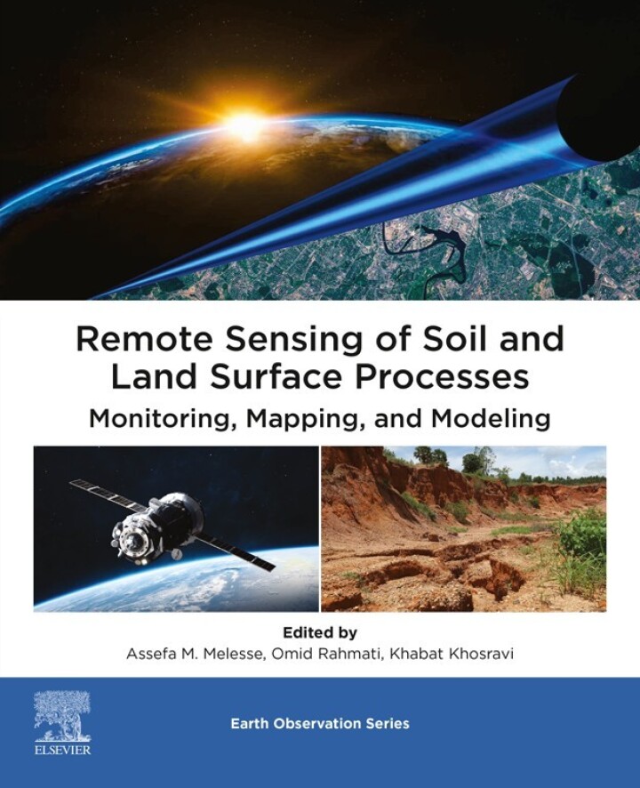
Remote Sensing of Soil and Land Surface Processes – 1st Edition
Original price was: $160.00.$38.00Current price is: $38.00.
Author: Assefa M. Melesse; Omid Rahamati; Khabat Khsoravi
Publisher: Elsevier (S&T)
Print ISBN: 9780443153419
Delivery Time: Within 4 hours
Copyright: 2024
500 in stock
- Save up to 60% by choosing our eBook
- High-quality PDF Format
- Lifetime & Offline Access
Remote Sensing of Soil and Land Surface Processes 1st Edition
Remote Sensing of Soil and Land Surface Processes, 1st Edition by Assefa M. Melesse, Omid Rahamati, and Khabat Khsoravi is a practical, authoritative guide for scientists, GIS professionals, and decision-makers who rely on Earth observation to understand soils and land-surface dynamics.
From the first page this volume captures attention with clear explanations of how satellite imagery, airborne sensors, and geospatial analysis reveal patterns in soil moisture, erosion, land cover change, and surface energy balance across local, regional, and global scales. The book walks readers through the fundamentals of remote sensing and translates technical methods into actionable insights for hydrology, precision agriculture, land degradation assessment, and climate-impact studies.
Readers will appreciate the balanced mix of theory and application: practical workflows for processing multispectral and radar data, guidance on integrating remote sensing with GIS, and examples showing how Earth observation improves soil conservation, irrigation management, and landscape-scale planning. Case studies emphasize applicability in diverse environments — from arid and agricultural landscapes to urban watersheds — making the content relevant to practitioners worldwide.
For researchers, planners, and students seeking a focused reference that bridges geospatial science and applied land management, this edition offers clarity, methodical guidance, and real-world relevance. Add Remote Sensing of Soil and Land Surface Processes to your library to strengthen analyses, improve monitoring programs, and support evidence-based decisions using satellite and geospatial data. Purchase your copy today to elevate your remote sensing toolkit.
Note: eBooks do not include supplementary materials such as CDs, access codes, etc.