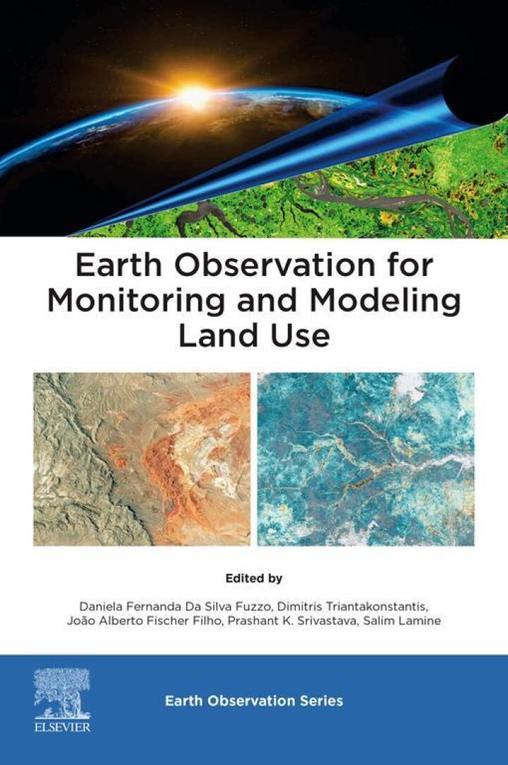
Earth Observation for Monitoring and Modeling Land Use
Original price was: $185.00.$38.00Current price is: $38.00.
Author: Daniela Fernanda Da Silva Fuzzo, Dimitris Triantakonstantis, João Alberto Fischer Filho, Prashant K.
Publisher: Elsevier (S&T)
Print ISBN: 9780323951937
Delivery Time: Within 4 hours
Copyright: 2025
500 in stock
- Save up to 60% by choosing our eBook
- High-quality PDF Format
- Lifetime & Offline Access
Earth Observation for Monitoring and Modeling Land Use
Earth Observation for Monitoring and Modeling Land Use by Daniela Fernanda Da Silva Fuzzo, Dimitris Triantakonstantis, João Alberto Fischer Filho, and Prashant K. is an essential guide for professionals and students using satellite imagery and geospatial analytics to understand land-use dynamics. This authoritative volume captures cutting-edge remote sensing techniques, time-series analysis, and GIS-based modeling to track urban expansion, agricultural change, deforestation, and ecosystem shifts at local to global scales.
Explore clear, practical explanations of satellite data processing, classification algorithms, accuracy assessment, and integration with socioeconomic datasets—presented through real-world case studies that bridge theory and application. Readers will discover how to harness machine learning, open-source tools, and multi-sensor imagery to create reliable land-use maps, detect change over time, and inform policy and management decisions.
Ideal for geographers, environmental managers, urban planners, agronomists, and researchers, this book emphasizes reproducible workflows and geospatial best practices aligned with global Earth observation (GEO) initiatives. Its balanced combination of methodology, examples, and interpretation empowers readers to transform raw satellite data into actionable insights for climate resilience, biodiversity conservation, sustainable development, and smart-city planning.
Whether you’re building predictive land-use models, conducting impact assessments, or improving monitoring systems, this volume delivers practical techniques and strategic perspective. Stay at the forefront of remote sensing and land-use science—add Earth Observation for Monitoring and Modeling Land Use to your professional library today and elevate your geospatial analysis skills.
Note: eBooks do not include supplementary materials such as CDs, access codes, etc.