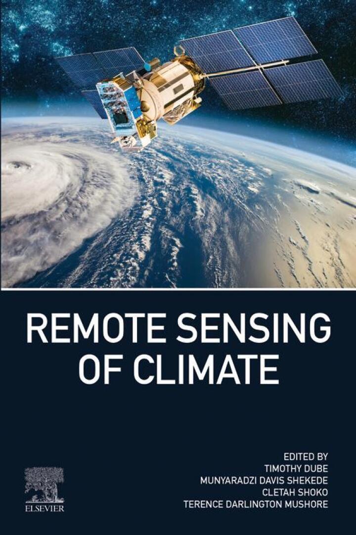
Remote Sensing of Climate – 1st Edition
Original price was: $150.00.$38.00Current price is: $38.00.
Author: Timothy Dube, Munyaradzi Davis Shekede, Cletah Shoko, Terence Mushore
Publisher: Elsevier (S&T)
Print ISBN: 9780443217319
Delivery Time: Within 4 hours
Copyright: 2024
500 in stock
- Save up to 60% by choosing our eBook
- High-quality PDF Format
- Lifetime & Offline Access
Remote Sensing of Climate 1st Edition
Capture the pulse of a changing planet with Remote Sensing of Climate, 1st Edition by Timothy Dube, Munyaradzi Davis Shekede, Cletah Shoko, and Terence Mushore — a practical, up-to-date guide to using earth observation for climate analysis.
This clear, authoritative volume walks readers through the principles and practice of remote sensing for climate monitoring. Combining theory with applied examples, it explains satellite sensors, data processing, time-series analysis, and interpretation of climatic signals across land, ocean, and atmosphere. Readers learn how to translate raw satellite imagery and GIS outputs into meaningful indicators of temperature trends, vegetation dynamics, drought, sea-level change, and urban heat islands.
Designed for students, researchers, environmental managers, and policy professionals, the book balances technical rigor with real-world relevance. Case studies and regional examples make the content GEO-friendly and globally applicable — from tropical Africa and temperate landscapes to coastal and polar regions. Practical guidance on data sources, workflows, and best practices helps practitioners implement climate monitoring projects at local, regional, and global scales.
Why this book matters: it equips you to turn satellite data into actionable climate insights, strengthen climate resilience planning, and support evidence-based decision making. Whether you’re building a research portfolio, advising governments, or implementing conservation projects, this edition delivers the tools and perspective you need.
Bring remote sensing into your climate toolkit — order Remote Sensing of Climate, 1st Edition today and begin transforming satellite data into real-world solutions for a changing climate.
Related Books


Technology & Engineering
Introduction to Discrete Event Simulation and Agent-based Modeling