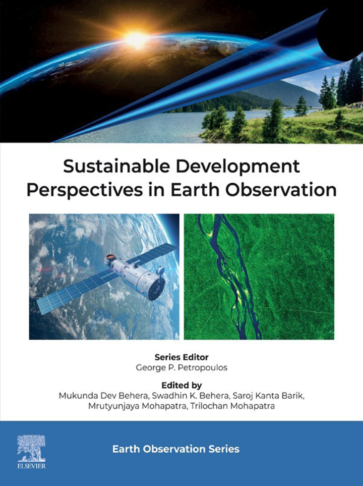
Sustainable Development Perspectives in Earth Observation
Original price was: $185.00.$38.00Current price is: $38.00.
Author: Mukunda Dev Behera
Publisher: Elsevier (S&T)
Print ISBN: 9780443140723
Delivery Time: Within 4 hours
Copyright: 2025
500 in stock
- Save up to 60% by choosing our eBook
- High-quality PDF Format
- Lifetime & Offline Access
Sustainable Development Perspectives in Earth Observation
Sustainable Development Perspectives in Earth Observation by Mukunda Dev Behera offers a compelling bridge between satellite science and real-world policy. Combining rigorous remote sensing methods with clear implications for sustainable development, this volume guides readers from raw geospatial data to actionable insight.
Begin with the power of Earth observation: high-resolution satellite imagery, GIS analysis, and time-series monitoring that reveal patterns in land use, water resources, and climate vulnerability. Mukunda Dev Behera frames these technical tools within the priorities of the Sustainable Development Goals (SDGs) and the Group on Earth Observations (GEO), showing how geospatial intelligence supports resilient cities, sustainable agriculture, and disaster-risk reduction.
Practical case studies—spanning urban planning, watershed management, and coastal protection—illustrate how remote sensing informs policy and project design at regional and national scales. Clear diagrams and accessible explanations make advanced topics like sensor fusion, change detection, and spatial modeling approachable for practitioners and decision-makers.
For researchers, planners, and policymakers seeking to harness satellite data for environmental stewardship, this book translates complex science into strategic action. Readers will gain methods to evaluate ecosystem health, monitor emissions, and optimize resource allocation—strengthening climate adaptation and sustainable development outcomes.
Insightful, authoritative, and forward-looking, Sustainable Development Perspectives in Earth Observation is an essential resource for anyone working at the intersection of geospatial technology and sustainability. Order your copy today to equip your projects with evidence-based geospatial solutions and advance impactful, data-driven decision making.