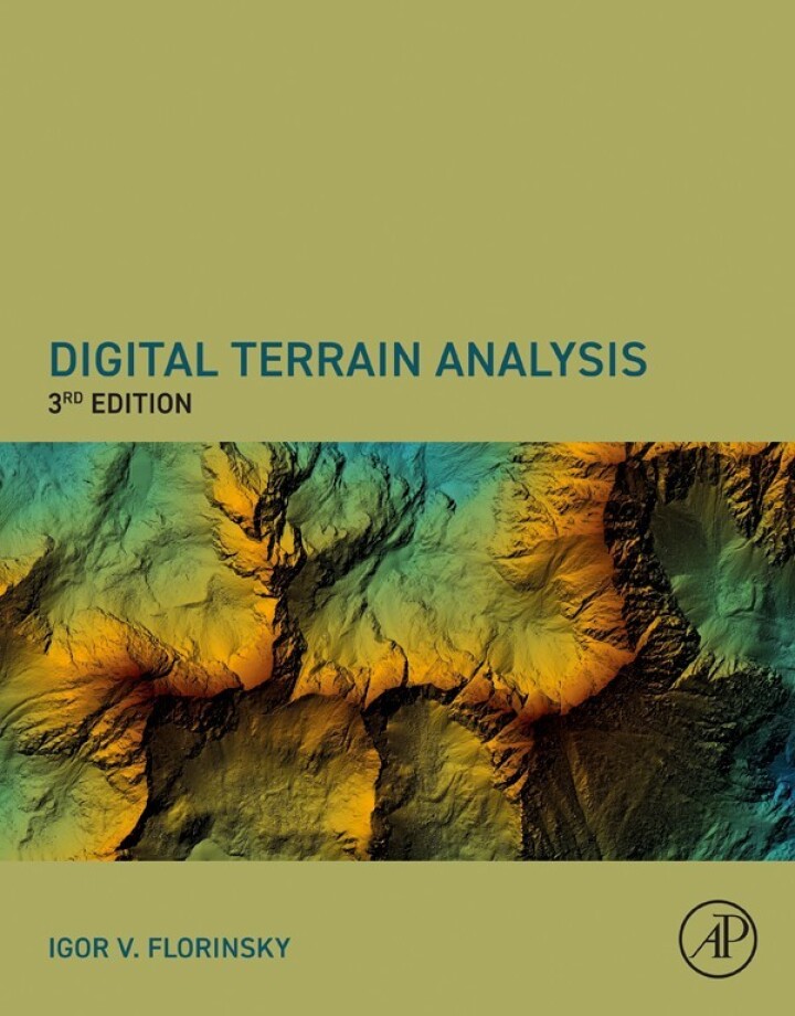
Digital Terrain Analysis, Third Edition – 3rd Edition
Original price was: $160.00.$38.00Current price is: $38.00.
Author: Igor Florinsky
Publisher: Academic Press
Print ISBN: 9780443247989
Delivery Time: Within 4 hours
Copyright: 2025
500 in stock
- Save up to 60% by choosing our eBook
- High-quality PDF Format
- Lifetime & Offline Access
Digital Terrain Analysis, Third Edition 3rd Edition
Digital Terrain Analysis, Third Edition by Igor Florinsky is an essential, up-to-date guide for anyone working with topography, digital elevation models (DEMs), and terrain-driven environmental processes. Clear, authoritative, and practically focused, this third edition brings advanced terrain modeling concepts within reach for geoscientists, GIS professionals, environmental planners, and students.
Inside you’ll find concise explanations of core methods—DEM processing, interpolation, terrain derivatives (slope, aspect, curvature), hydrological modeling, and scale and error analysis—paired with modern algorithmic approaches and real-world examples. The book balances theoretical rigor with hands-on guidance, showing how digital terrain analysis supports watershed assessment, landslide and slope-stability studies, soil mapping, urban planning, and ecosystem modeling across global and regional landscapes.
What sets this edition apart is its practical orientation: updated methodologies reflect advances in GIS and remote sensing integration while maintaining clear pedagogy for both classroom and field application. Readers will appreciate stepwise workflows, interpretation of results, and a focus on reproducible, transferable techniques that work from mountainous regions to coastal and urban environments.
Whether you’re refining flood models, assessing landscape dynamics, or teaching terrain analysis, Florinsky’s expert voice makes complex topics accessible and actionable. Ideal as a reference on your shelf or a textbook for advanced courses, this third edition helps you turn elevation data into robust, decision-ready insights.
Order your copy today to strengthen your terrain-analysis toolkit and apply proven methods to real-world geospatial challenges.